Water-Based Surveying
Hydrographic Survey
Hydrographic Survey
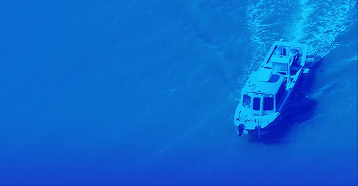
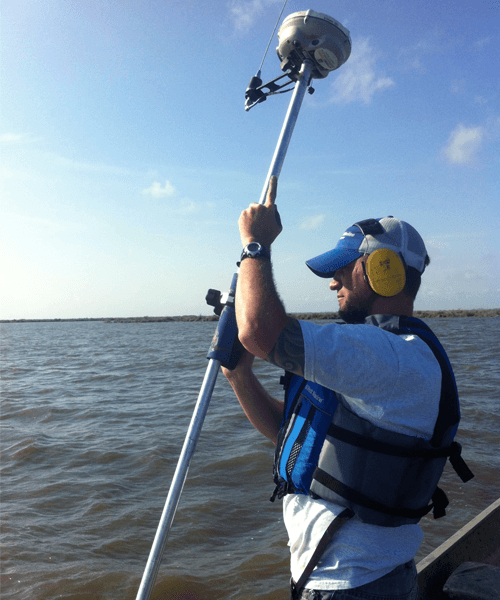
HydroTerra Technologies provides full-service hydrographic and bathymetric surveying for inshore, near-shore, and shallow water projects. Our crews operate shallow-draft vessels, airboats, and survey-grade GNSS and multibeam systems to deliver precise depth and position data under difficult working conditions. From pre-dredge planning through post-construction as-builts, we produce the data your engineers and regulators need.
- Hydrographic / Bathymetric Surveys
- Pre-Dredge & Post-Dredge Surveys
- Dredge Quantity Calculations
- Scour Surveys
- Pipeline & Cable Route Surveys
- Shoreline Mapping
- Inland Waterway Surveys
- Near-Shore & Inshore Surveys
- Shallow Water Surveys
- Marine Construction Support
Ready to get started?
Find out how we can help you: