Terrestrial Surveying
Land Survey
Land Survey
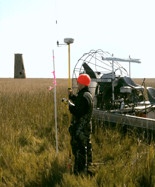
Our licensed land surveyors deliver boundary, topographic, construction, and right-of-way surveys for commercial, industrial, and energy clients. We combine traditional ground survey techniques with GNSS, robotic total stations, and UAV mapping to produce deliverables that meet or exceed state and federal standards. Every project is supervised by a Louisiana Professional Land Surveyor.
- Boundary Surveys
- ALTA / NSPS Land Title Surveys
- Topographic Surveys
- Construction Surveys / Staking
- As-Built Surveys
- Route Surveys
- Pipeline Surveys
- Oil & Gas Well Location Surveys
- FEMA Elevation Certificates
- Flood Determination Surveys
- GPS / GNSS Surveys
- Subdivision Platting
- Right-of-Way Surveys
Ready to get started?
Find out how we can help you: